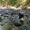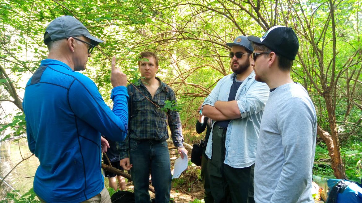
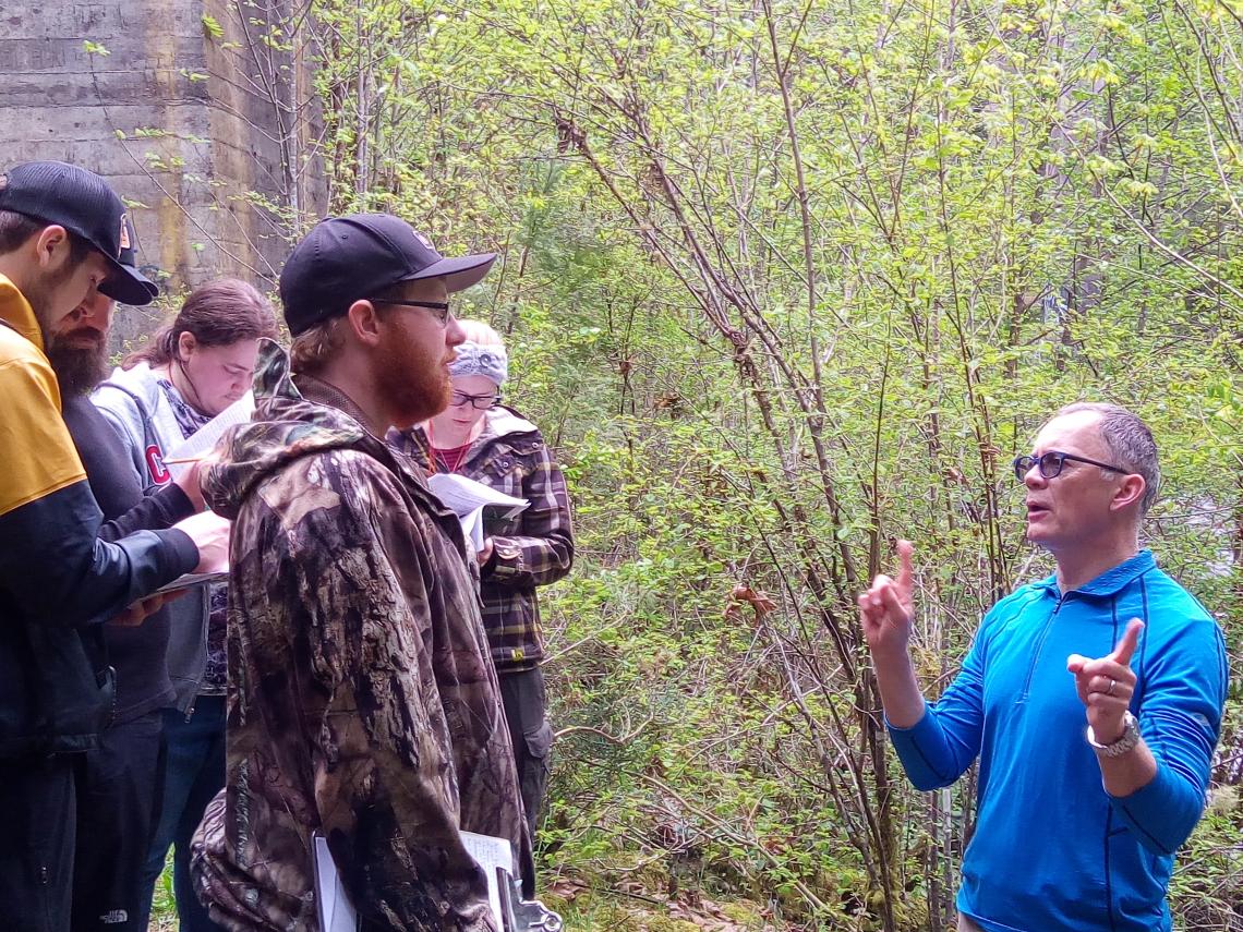
VIU Geography Professor Dr. Alan Gilchrist conducting a field lesson for his students.
October 3, 2018 - 1:45pm
In resource-rich Canada, people often assume our water supply is limitless but between contamination and overuse, we have to wonder: how much water is really available?
Vancouver Island University (VIU) Geography Professor Dr. Alan Gilchrist and Master of Geographic Information Systems Applications student, Tim Sivak, have partnered with the BC Ministry of Forest, Lands, Natural Resource Operations & Rural Development; the Regional District of Nanaimo; and the Cowichan Valley Regional District to develop a water budget that will help answer this question for many communities and regions across Vancouver Island.
In February 2016, the BC Government updated its Water Act with the Water Sustainability Act (WSA). The goal of the WSA is to ensure a sustainable supply of fresh, clean water to meet the needs of BC residents now and in the future. With that in mind, the WSA requires that groundwater be licensed for non-domestic use.
“While the Water Act only required licensing of surface water for non-domestic use, the WSA requires licensing for groundwater as well,” says Gilchrist. “This means that anyone who diverts or uses groundwater outside of household use must obtain a license and pay fees and rentals. The problem is that nobody is sure how much water is actually out there because there is limited information and mapping available. This runs the risk of over allocation of water.”
 This is where the water budget comes in.
In the short-term, the water budget will help water managers (i.e., the BC Government, regional governments and municipalities), the public and other interested parties understand how much water is available for human use in BC.
“A water budget accounts for the relationship between the inputs and outputs of water through a region,” says Gilchrist. “Once completed, the water budget will give us scientific measurements and estimates regarding the amount of water in each basic component of the hydrological cycle, allowing us to calculate the movement of water throughout the entire system.”
Basic components of water budgets include precipitation (e.g., rain and snow), evapotranspiration (i.e., evaporation from soil, transpiration by plants, etc.), surface water (e.g., lakes and rivers), groundwater flow (i.e., aquifers) into and out of the watershed; changes in surface water and groundwater storage; changes in snow and ice storage; and human withdrawals and inter-basin transfers.
“Knowing where, when and how much water is flowing into or out of an area helps us calculate how much is left for other uses – such as human use – and where stresses or water shortages exist or are developing,” says Gilchrist. “With this information readily available, governing bodies will be able to confidently make decisions regarding groundwater licenses.”
Granted a Vancouver Island University Faculty Association assisted leave from August 2018 to 2019, Gilchrist will work closely with Sivak to determine a way to quantify existing data (e.g., data from climate stations, the amount of water in rivers, etc.). From here, Sivak will develop a computer model and together they will create a publicly accessible interactive map.
"The project is an interesting combination of Geographical Information Systems, surface water, and groundwater science,” says Sivak. “We are thankful for the opportunity to conduct this work."
Gilchrist’s hope is that in the long-term the model will help all water managers and other interested parties assess the overall differences in water quantities between communities and develop a vision of what the hydrological cycle in each area may look like in the future (e.g., whether or not the inputs and outputs balance and what the impact is when compared to climate change data).
“Existing climate change data shows that Vancouver Island can expect an increase in overall temperatures, an increase in the amount of rain in the winter and drier summers,” says Gilchrist. “Water systems on Vancouver Island are already stressed during the summer but with the information provided by the model, we will be able to better predict and prepare for these changes.”
Gilchrist has been active in water resource management research since he moved to Vancouver Island 18 years ago. Motivated by a desire to study something that was not only interesting but also practical and relevant, he has worked with all levels of government to develop a series of tools to help protect and manage water.
“From 2006 to 2010, I worked in collaboration with others at VIU, the BC Ministry of Environment, Natural Resources Canada, and the Vancouver Island Health Authority to develop intrinsic vulnerability maps for all seven regional districts across Vancouver Island to identify where aquifers are vulnerable to contamination from various high risk land-use activities,” says Gilchrist. “Using an existing methodology developed by the US Environmental Protection Agency, we produced the first map of this magnitude in Canada and gained better insight into groundwater on Vancouver Island.”
According to Gilchrist, approximately half of Vancouver Island relies on groundwater for drinking water. Unfortunately, it moves slowly below the ground and is not easily visible. While the vulnerability map made it possible for municipalities to make decisions about development from an aquifer pollution perspective, the water budget builds on this by finding a way to quantify and map the changes in the amount and quality of water available.
-30-
MEDIA CONTACT:
Jenn McGarrigle, Communications Officer, Vancouver Island University
P: 250.740.6559 | C: 250.619.6860 | E: Jenn.McGarrigle@viu.ca | T: @VIUNews
Tags: Geography | Sustainability | Research