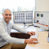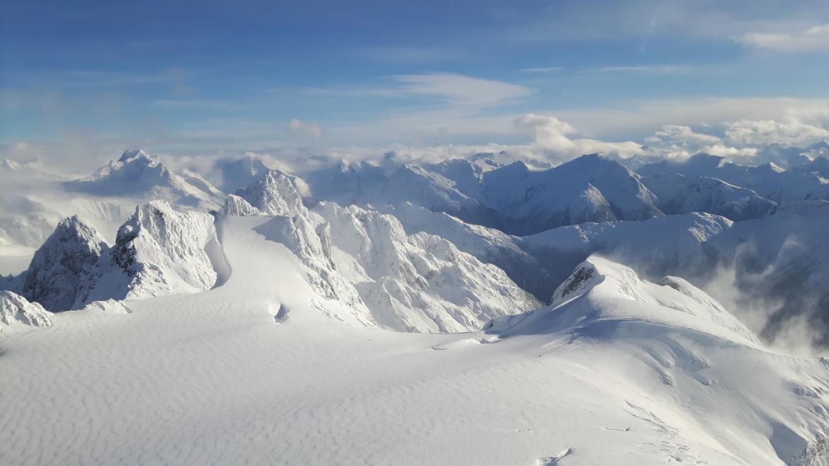
Researchers at the Hakai Cryosphere Node are working to understand the role seasonal snow cover and glaciers play in the hydrology of key watersheds along BC's Central and Southern Coast. Dr. Bill Floyd photo
June 6, 2024 - 9:45am
Hakai Cryosphere Node researchers are using LiDAR technology to measure snowpacks on a grander scale than was possible before.
Researchers at the Hakai Cryosphere Node are revolutionizing the way we measure snow and are gaining a better understanding of how wildfires influence the melting of the province’s glaciers.
The Hakai Cryosphere Node is a collaboration between the University of Northern British Columbia (UNBC), Vancouver Island University (VIU) and the Hakai Institute. The Hakai Cryosphere Node is located at UNBC and led by Geography Professor Dr. Brian Menounos, and Dr. Bill Floyd, a Research Hydrologist with the BC Ministry of Forests and a VIU Geography Adjunct Professor.

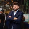
Dr. Brian Menounos
The researchers have been working on this project since 2018 when the Tula Foundation funded the Hakai Cryosphere Charter. It funded a five-year project to understand the role seasonal snow cover and glaciers play in the hydrology of key watersheds along BC's Central and Southern Coast.
“We had some fundamental questions about how important seasonal snow is in the total water budget. How important are glaciers in terms of runoff or headwater streams? And how these natural resources, these frozen reservoirs, are changing through time and can we come up with better ways to estimate the total volume or what is often referred to as the total mass of water contained within the seasonal snow and glaciers themselves,” said Menounos.
Researchers are using a plane equipped with LiDAR (a remote sensing method that uses light in the form of a pulsed laser to measure ranges, or variable distances, to the Earth). The plane flies over watershed areas to get two sets of measurements. The plane is used when there is no snow, a bare Earth measurement, and again for a second measurement when there is snow on the ground. Researchers can subtract them from each other and get an estimate of snow depth.
“You can create very detailed 3-D models of the Earth’s surface. It’s a massive advancement in our ability to measure snow,” said Floyd.

Dr. Bill Floyd
The LiDAR information is combined with traditional snow-measuring methods that have been used for the past 100 years. These measuring techniques involve people going out into the snowpacks and using a snow tube to measure snow depth and density.
The challenge with traditional measurements alone is they are done over a small area, and it was difficult to scale up the information to estimate the snow water equivalent in an entire watershed. Now combined with LiDAR the researchers can re-create the snow measurement over an entire landscape and use the manual density measurements to get the water volume.
“We can get a number now for how many million cubic meters of water is stored in the snowpack. That’s something we’ve never really been able to say before,” said Floyd.
They can now create snowpack storage numbers for all the watershed sites they’ve studied. These numbers are important for people who manage a water supply and can help in seasonal decision-making, such as reducing consumption and imposing water restrictions by having people stop watering their lawns earlier than normal.
“We’ve been able to show in these watersheds that snow makes up a significant component for the five years we’ve measured,” said Floyd.
Menounos is focusing his research on how glaciers respond to climate change. He’s also trying to understand how wildfires influence glaciers and the runoff from glaciers. Energy from sunlight provides one of the main controls on melting snow and ice when temperatures are above freezing. With wildfires, you can have hazy skies blocking out sunlight, but it also creates particulate matter that falls on the snow and ice surface, which is referred to as brown or black carbon. Brown carbon tends to absorb energy from sunlight and it accelerates the melting of snow and the ice around it.
“Glaciers are mother nature’s reservoirs. They release water exactly when these headway streams and aquatic ecosystems need that cool, plentiful water. So right now, we have drought conditions. It wasn’t as apparent last autumn but in autumn 2022 if you were to look at streams that were fed by glaciers versus those that weren’t you’ll find that there were waters in those creeks fed by glaciers,” said Menounos, adding glaciers add a buffering capacity against drought. “If you take those glaciers away and you’ve lost that capacity to buffer, you elevate the vulnerability of aquatic ecosystems like fish.”
Hakai Cryosphere Node researchers will continue building on their work over the next five years thanks to funding from the Tula Foundation. VIU will receive approximately $240,000 per year for the next five years, with additional funding from Metro Vancouver, the Comox Valley Regional District, the Regional District of Nanaimo and the BC Government. The researchers will continue to refine the measuring techniques and focus on expanding the understanding of seasonal changes in snow cover, over longer time frames, and changes in glacier cover. UNBC received $1.44 million, including data acquisition) over five years for the research project.
-30-
Media Contact:
Rachel Stern, Communications Officer, Vancouver Island University
C: 250.618.0373l E: Rachel.Stern@viu.ca | X: @VIUNews
The VIU community acknowledges and thanks the Snuneymuxw, Quw’utsun, Tla’amin, Snaw-naw-as and Qualicum First Nation on whose traditional lands we teach, learn, research, live and share knowledge.